Szentes pe hartă
Szentes (Csongrád
) , Ungaria pe hartă.
Coordonatele GPS: 46° 39' 22.6" Nord,
20° 16' 19.2" Est.
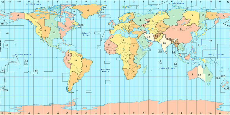
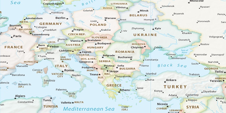
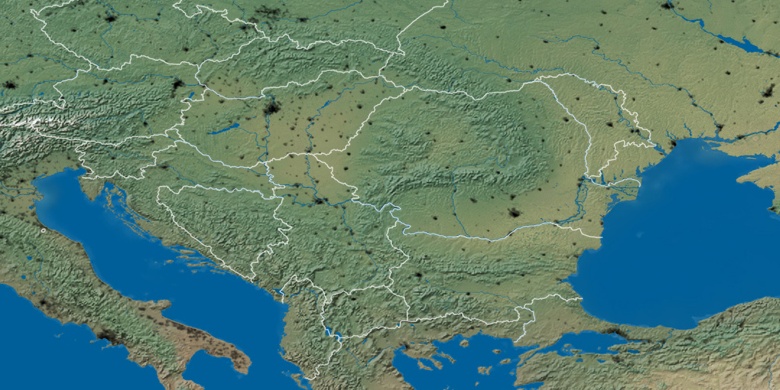
» Fus orar, » harta politică, » harta naturală,
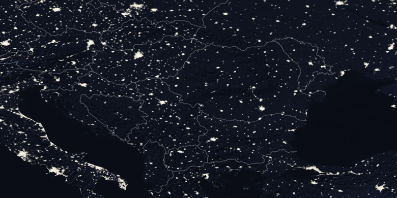
» Szentes harta de noapte & » harta Google.
 Timp
TimpSzentes pe harta fusul orar:
Fus orar: GMT+02:00 = CEST (±1 DST)

Ungaria, Szentes harta politică

harta naturală
Latitudine longitudine: 46.65627, 20.27201

Szentes
Szentes harta de noapte